
City of Wallowa Trail Section
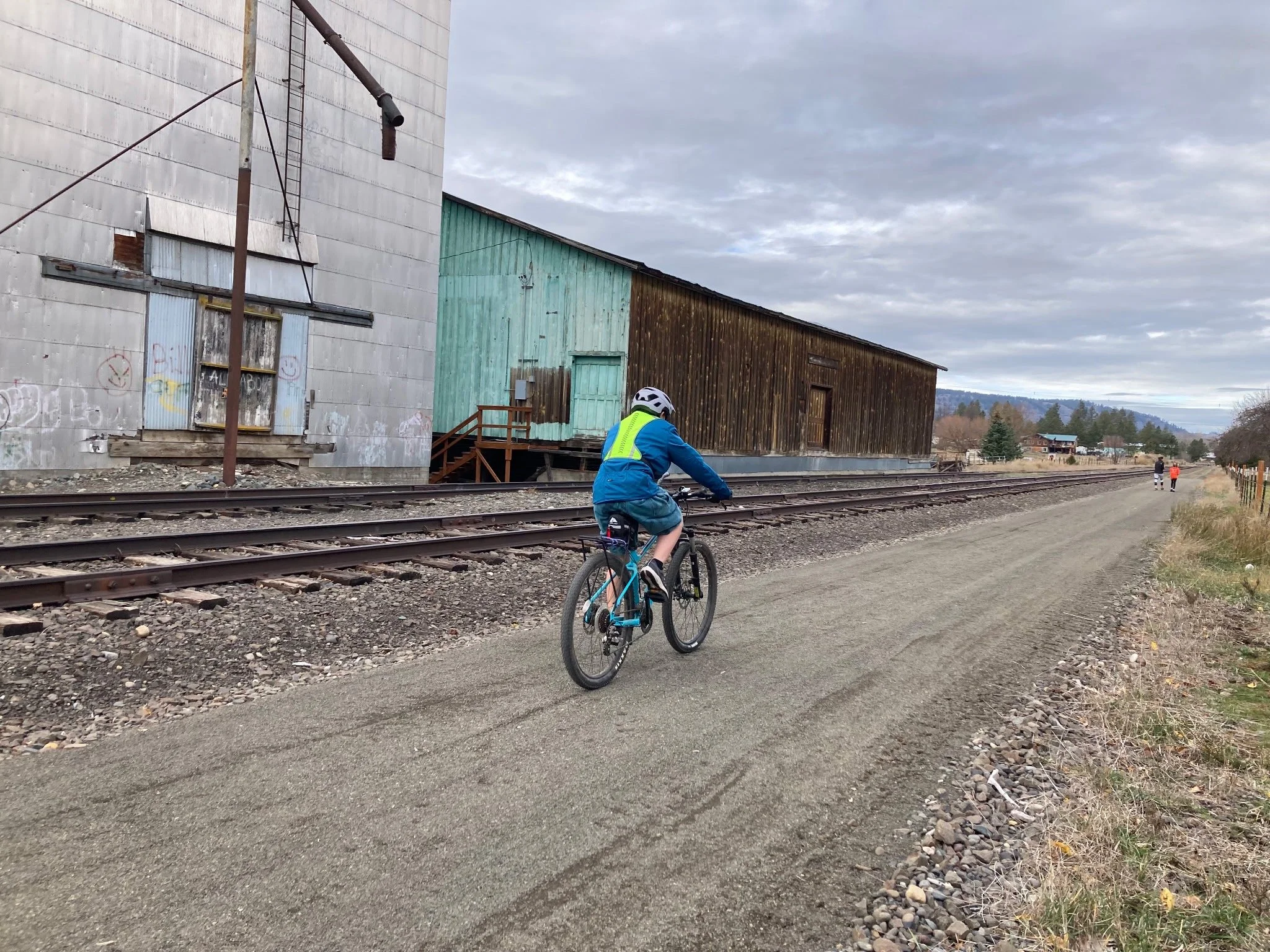
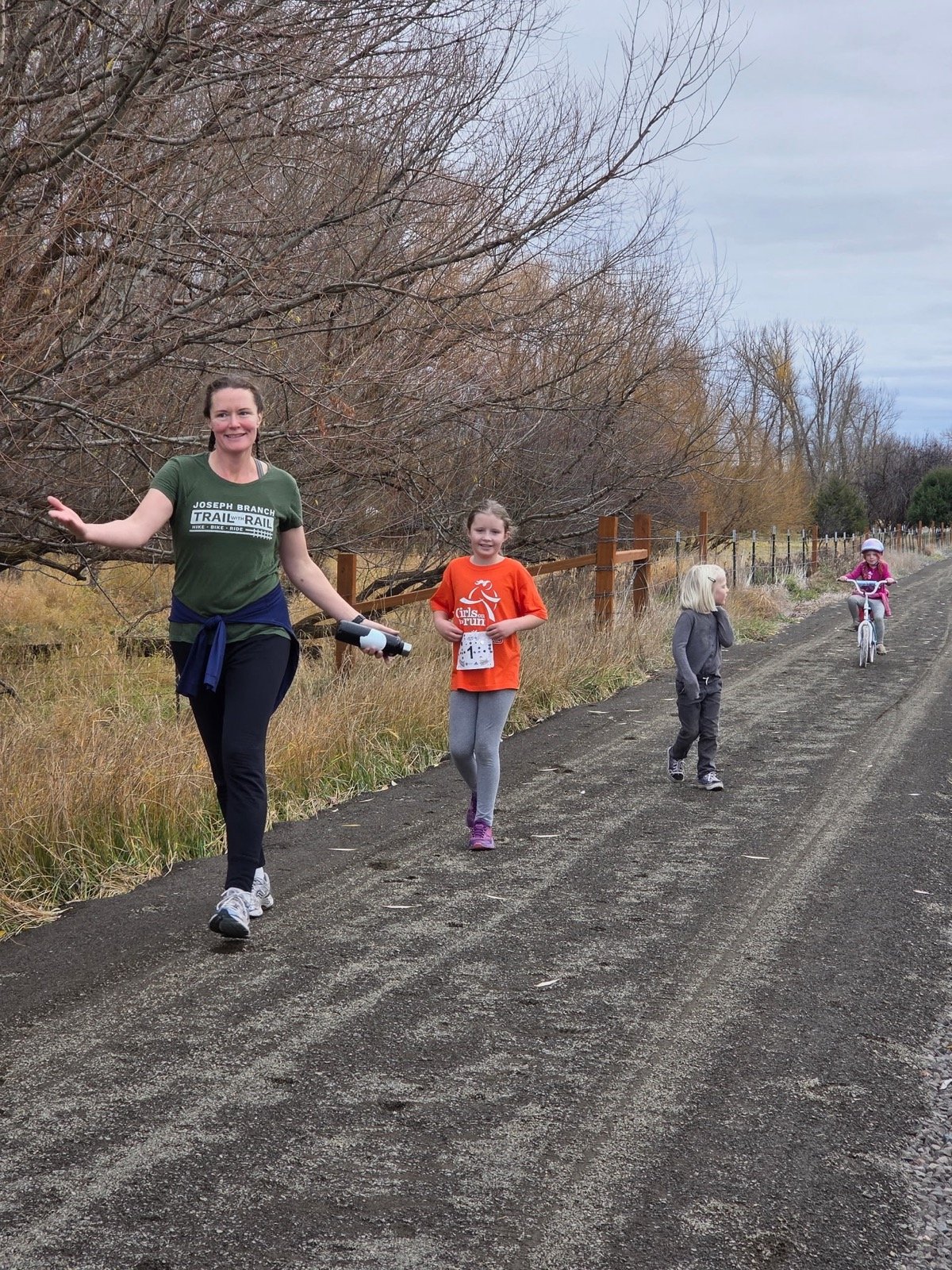
The Joseph Branch Trail is open and accesible to all in Wallowa, OR!
REFINEMENT PLANNING FOR EXTENSION OF THE TRAIL BEYOND CITY LIMITS IS UNDERWAY
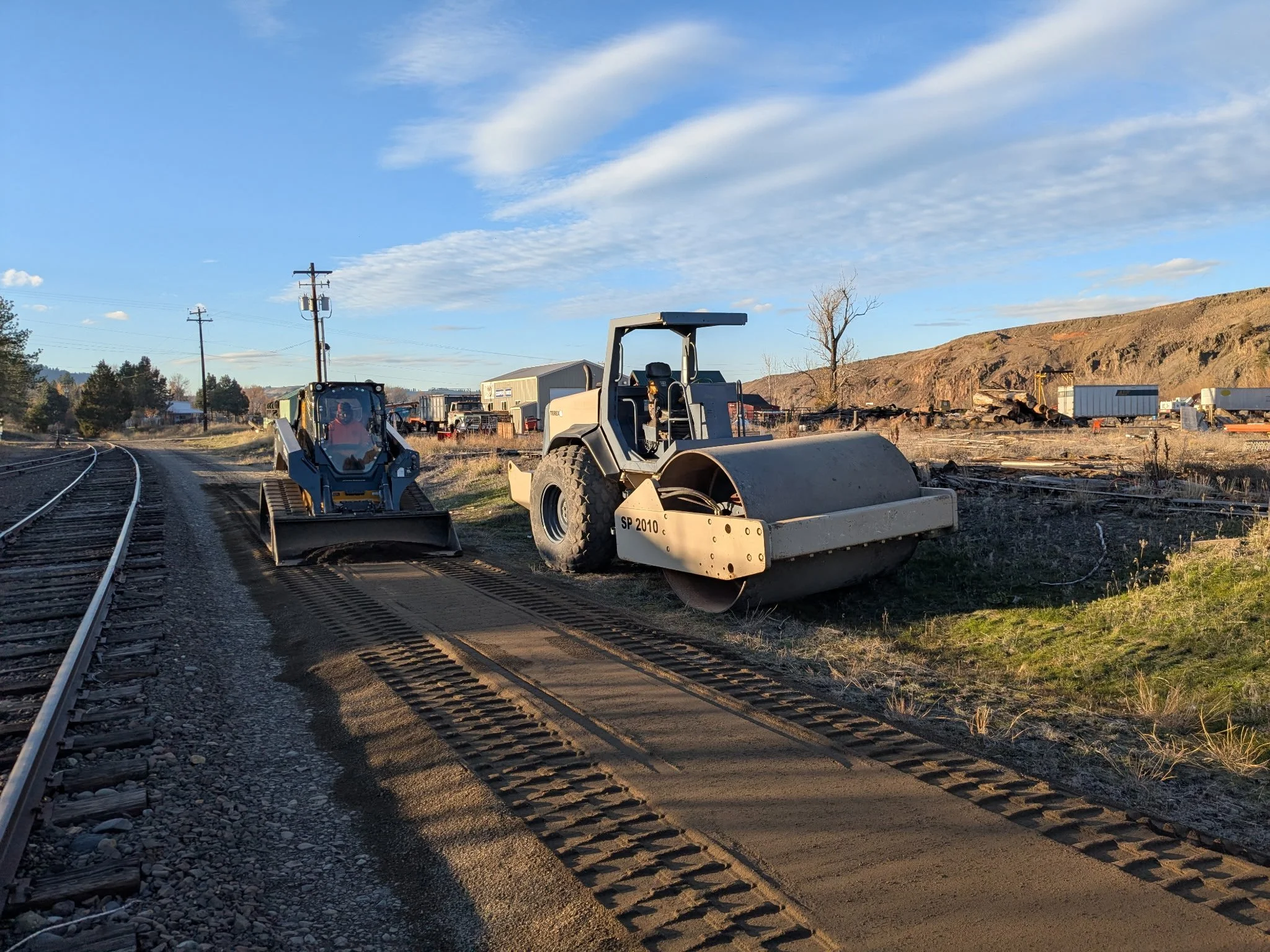
In partnership with the City of Wallowa, Wallowa County, Oregon Dept. of Transportation, and Wallowa Union Railroad Authority a Refinement Plan for the 15+ mile Minam-to-Wallowa segment of the Joseph Branch Trail has been created. The Refinement Plan addresses alignment, safety, concept design features, crossings/connections, materials, and adjacent landowner concerns. The Refinement Plan for the Joseph Branch Trail-with-Rail from Minam to Wallowa has been unanimously approved by the Wallowa City Council for adoption into the city's Transportation System Plan. Efforts are underway to get the Refinement Plan adopted into the Wallowa County Transportation System Plan as well. This aspiration plan lays a solid foundation for the future of the trail-with-rail through the between Wallowa River canyon between Wallowa and Minam. The creation of the plan was funded by an ODOT Transportation Growth Management Grant awarded to the City of Wallowa in 2023.
LOCATION MAP GRAPHIC (see below)
The study area for this Refinement Plan starts at the eastern Wallowa city limits, connects through downtown Wallowa, and includes the railroad corridor and contiguous public lands for 15+ miles west to the community of Minam (at the confluence of the Wallowa and Minam rivers).

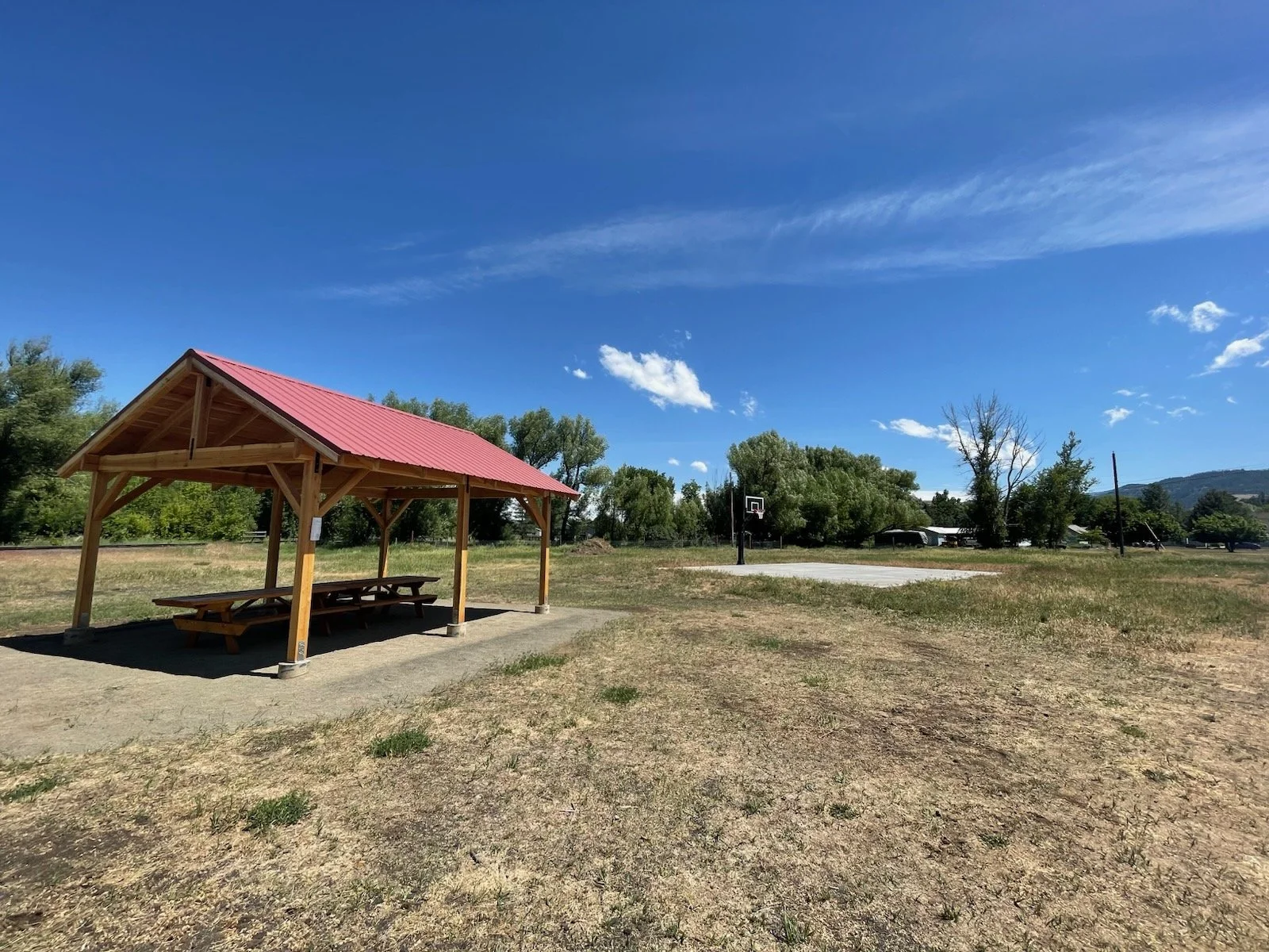
The City of Wallowa Section of the Joseph Branch trail is accompanied by an adjacent Pocket Park Trailhead. Completed in the Fall of 2025. The park and trailhead are located on land owned by our partner organization the Nez Perce Wallowa Homeland (NPWH). The trail section and park in Wallowa connect to the homeland grounds via a bridge over the Wallowa River. From this connection point, recreationists can access the grounds, longhouse, dance arbor, and hiking trails up Tick Hill. We are grateful to the NPWH for their steadfast partnership.